One of the frequent types of research requests the Museum gets is for information about a house or property. But, the first thing we need to know is the full address of the property when you contact us. There are several ways we can potentially help with researching the property:
- Maps
- Images
- Help using King County Parcel Viewer
- Recommending the Puget Sound Region Branch Archives
Maps
The Museum has a collection of township maps from various eras that can list former property owners for larger tracks of land. By knowing former property owners sometimes we are able to locate an image of the property in photographs donated by that former owners family. This can also help track subdivisions and changes of ownership over time.
We also, for the downtowns, have some copies of Sanborne maps that show the locations of buildings.


Images
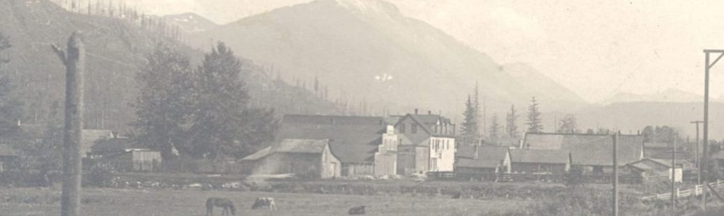
The Museum also has a large collection of photographs. If the property is in a downtown, there is a chance we have an aerial photograph. There is also a stronger chance we have a street photograph as well. That being said, the Museum’s collection is not very strong in images after 1940s nor in residential neighborhoods.
Some times we do have a lot of images though. For instance, the Boxley house, that was located roughly where Bank of America’s parking lot now is, was featured frequently in the background of other images.
Even if we do not have an image of the property we might still also have an image of the former owners.

Other Resources
Even if the Museum’s collection does not have information on your property, there are still some other resources that we can help direct you to.
King County has a wonderful website that features information on your property called the King County Parcel Viewer. It will often tell the year your house was built and can contain older image of your house. By clicking on the parcel and then clicking on Property Report the site will take you to information on your parcel. This includes your parcel number, year the main building was built, images of the property and other interesting information. If you then click on the top bar on the right side on Property Detail, it will take you to another page with even more information. Scroll down on that page it provides more images and sometimes a floor plan. If you click on the blue camera icon it will bring up even more images. This site only has some of the assessors images digitized and publicly available, but the Puget Sound Region Branch Archives have more of them.
If you take your parcel number and contact the Puget Sound Region Branch Archives, they can help you find additional historic images of your property. In 1939/1940 as part of the National Works Projects each building in King County was photographed and this archives holds those photographs. They even include buildings that no longer exist! But, to access them, you need the parcel number as that is how their images are sorted.
They can have property reports that contain information about the buildings as well as images of the property.
Another resource that is available to property owners is the title abstract. This is often run and given to property owners when they purchase property among their closing paperwork. It contains the history of the transfers of ownership of the property and legal description. It often also contains more detailed maps of the property. The Museum does not have access to this report but it is often a good place to start that many people do not think of. They can also be run by title company.


One of the most recent resources now available is the King County Historic Preservation Viewer. This great map has information what properties qualify for the historic register (with a green dot) and may be eligible for Landmark status and which properties are Historic Landmarks (red squares). If your property is marked you can contact the King County Historic Preservation office and they can help direct you to further resources available to help you preserve your historic building. Historic Landmarks have tax incentives and grants available for preservation work. These incentives can be available for properties marked with green dots as well.